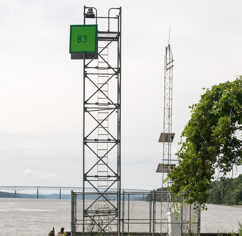
Navigating New York waterways just got a bit easier. NOAA and the New York State Department of Environmental Conservation announced the establishment of the Hudson River Estuary Physical Oceanographic Real-time System (PORTS®). The system delivers real-time oceanographic and meteorological observations that can improve maritime safety and inform coastal resource management in the region. Commercial mariners, recreational boaters, resource managers, and coastal planners can use the online tool to access real-time water level data from Sleepy Hollow to Troy, New York.
Read the full article and learn more about the Hudson River PORTS on the NOAA website.
